A path into the reading
Planning a Visit to Wudang Mountain
Transport, tickets, seasons, accommodation, food, fitness and safety for an independent visit
Start here
01 Find your bearings
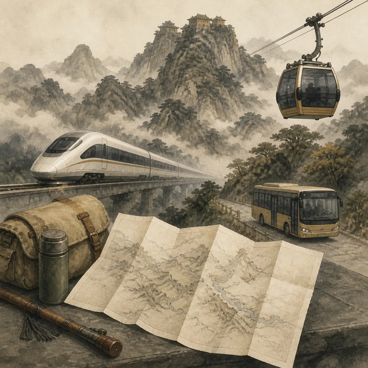
Getting to and Around Wudang Mountain
Regional rail and air connections, scenic-area shuttles, cable cars and last-bus planning
Explore this section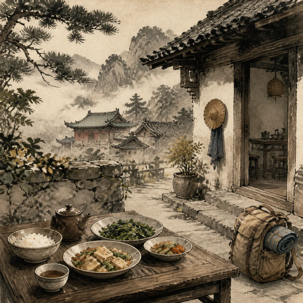
02 Explore the subject
Where to Stay and Eat at Wudang Mountain
Choosing between the base town and the mountain, plus local food and temple meals
Explore this sectionGo further
Deeper reading
- Getting to and Around Wudang MountainRegional rail and air connections, scenic-area shuttles, cable cars and last-bus planning
- Wudang Mountain Tickets, Costs and Best SeasonsWhat admission covers, what a visit costs and when conditions are most suitable
- Where to Stay and Eat at Wudang MountainChoosing between the base town and the mountain, plus local food and temple meals
- Wudang Mountain Fitness, Access and SafetyPhysical demands, accessibility limits, weather risks and when to change the plan
The full guide
What should I know before reading further?
This group covers the practical side: reaching the region, moving around inside the protected area, what you pay for, when to come, where to sleep and eat, and whether your legs are up to it. It is written differently from most travel material about Wudang, and the differences are deliberate.
Read more The complete guide
This group covers the practical side: reaching the region, moving around inside the protected area, what you pay for, when to come, where to sleep and eat, and whether your legs are up to it. It is written differently from most travel material about Wudang, and the differences are deliberate.
A warning about numbers
No prices, fares, opening hours, timetables or journey times appear anywhere in this section.
The reason is not squeamishness. Figures for Wudang change, and the figures circulating online are routinely years out of date, which makes them worse than no figure at all because readers trust them and plan around them. A visitor who arrives having budgeted from a five-year-old blog post is in a worse position than one who arrived knowing only that charging is layered and that several separate payments will be required.
What is stable, and what these pages therefore describe, is structure: how charging is organised into stages, how transport connects, which costs are unavoidable and which optional, how the seasons behave, what the accommodation trade-off is, and how much climbing is involved. Structure holds for years. When you need an actual number, get it on the day from the operator or the ticket office, and treat anything you read in advance — including here — as orientation rather than fact.
Where you are actually going
A common misconception is worth clearing up first, because it causes more wasted time than any other.
Wudang is not a single site with a gate. It is a large protected area covering a mountain range, with a controlled entrance, an internal transport system, and major sites distributed along an ascending route several kilometres long and more than a thousand metres high, plus further sites away from that route entirely. There is also a town at the foot, which is where most accommodation, most restaurants, the martial arts schools and the main transport interchange are, and the town is not inside the protected area.
So a visit has three distinct layers: getting to the region, getting into and around the protected area, and getting up the mountain within it. Confusing these produces the classic mistake of allowing a couple of hours for something that needs a day.
Three decisions that shape everything else
Almost every other question resolves itself once you have settled three things.
How many days you will give the mountain. One day buys the main ascending route at speed and the summit if weather allows, with a large share of it spent in transit and queues. Two days lets you take that route properly. Three or four is where the place begins to make sense, because you can reach a quiet outlying site, be present early and late when the halls are at their best, and absorb one bad-weather day without losing the summit. A week suits a specific interest or an intention to train.
Whether you sleep in the town at the foot or on the mountain itself. This is the single highest-leverage choice available to you and is discussed in detail in the lodging pages. Staying up puts you in the halls at dawn and dusk when the day visitors are absent and the resident clergy are conducting services; staying down gives you more choice, more comfort and easier logistics.
Whether the summit is your priority or breadth is. If the summit matters most, plan to do it early in a day and accept the crowds. If breadth matters more, deprioritise it, because the summit consumes a disproportionate share of time and effort for a small area you will share with everybody.
The order to settle things in
Plan in this sequence and the pieces fall into place; plan in a different order and you will redo the work.
Start with the number of days, because everything scales from it. Then choose the season if you have any flexibility, since timing has more effect on the quality of a visit than any amount of money. Then decide where you will sleep, which follows from the number of days and from whether you want early mornings on the mountain. Then decide your priorities among the sites, which determines your routes. Only then work out transport and tickets, which are the details most people start with and which are in fact the last things to settle, because they depend on all the decisions above.
Be honest about the stairs
The most common practical misjudgement is physical, and it is worth confronting before anything else is booked.
The core of a visit is climbing stone steps, often in humidity, repeatedly, over several hours. Vehicles and a cable car cover part of the height, but the final approach to the summit is steep, sustained, in places exposed, and cannot be avoided by any means of transport. Connecting stretches between mid-mountain sites are longer and steeper than a map suggests, because a map flattens them. Descent is harder on knees than ascent and is routinely underestimated. Stone is worn smooth and frequently wet.
You do not need to be an athlete. You do need to be able to climb many flights of stairs repeatedly with rests, and to repeat that on consecutive days if you want to see more than one part of the mountain. If that is not realistic, say so at the planning stage rather than discovering it on a stairway. A shortened plan built around the mid-mountain complexes and the outlying palaces involves far less ascent and is genuinely rewarding, and the fitness and access page sets out the options.
What to bring
Kit is worth thinking about because the mountain punishes a few specific omissions.
Footwear matters more than anything else you carry. Stone steps here are worn smooth by centuries of use and are frequently wet from rain or mist, so soles with real grip are not a refinement but a safety item. Layers matter next: the summit is markedly colder and windier than the town below, and a rise of over a thousand metres produces a genuine temperature difference, so plan to add and remove clothing rather than choosing one outfit. Rain protection is worth having in most seasons, and a light waterproof is more useful than an umbrella on exposed stairways in wind.
Beyond that, carry water and something to eat, because provisioning inside the area is uneven and concentrated at the busy nodes. Cash in small denominations is still useful in places where mobile payment is the norm. If you want to look at timber framing and interiors, a small torch helps, since halls are dark. And keep your day pack light, because every kilogram is carried up a thousand metres of stairs by you.
What tends to go wrong
A short list of the failures that recur, all of them avoidable at the planning stage.
Allowing one day for a site that needs two or three, and then spending most of it queuing. Arriving with large luggage and discovering that it cannot go where you are going. Assuming a cable car removes the climbing. Planning around out-of-date prices and timetables found online. Treating the summit as guaranteed rather than weather-dependent, and having no alternative plan for the day it is in cloud. Choosing accommodation without deciding first whether early mornings on the mountain matter to you. Visiting during a national holiday without knowing what that does to crowds. And, for prospective students, paying a school in advance without seeing it.
Every one of these is a planning error rather than bad luck, which is the reason this group of pages exists.
Respect the place you are entering
One planning point belongs here rather than in the etiquette pages, because it affects choices rather than conduct.
The temples on this mountain are working places of worship with resident clergy, not exhibits arranged for visitors. That has practical planning consequences. Services happen at fixed times, generally early and late, and if seeing one matters to you it should shape where you sleep. Some areas are residential and closed to visitors, so a complex may be smaller in practice than its plan suggests. Halls in religious use may be closed to photography, so do not build a plan around particular images. And festival dates in the Zhenwu calendar transform a site: far busier, far more interesting, and far harder to move around.
Reading a few pages of the etiquette group before you arrive takes very little time and changes the experience substantially, because knowing how to behave removes the low-level anxiety that otherwise occupies attention better spent on what you came to see.
What these pages cover
Four sub-groups, each with its own pages. Getting there and around covers reaching the region and then moving inside the protected area, including the transport stages and luggage. Tickets, costs and seasons covers the layered charging model, where money tends to be wasted, and the timing decision. Staying and eating covers the base-town-or-mountain trade-off, the kinds of accommodation, and food including vegetarian provision. Fitness, access and safety covers the physical demands honestly, options for visitors with limited mobility, and the real hazards, which are weather, wet stone and exposure rather than anything exotic.
Sources and limits. This section describes the structure of arrangements at the site rather than current operational detail, and deliberately quotes no prices, fares, times or schedules. Structural descriptions reflect how the site has been organised, but transport stages, ticketing boundaries, opening of individual halls, accommodation options and access provision all change without notice. Confirm everything operational locally on the day, and treat this material as orientation only.
Key points
No prices, fares, times or schedules appear here, because out-of-date figures are worse than none; structure is what lasts.
Wudang is a large protected area with internal transport, not a single site with a gate, and the town at the foot is outside it.
Three decisions govern everything: how many days, town or mountain for sleeping, and summit versus breadth.
Plan in order — days, season, lodging, priorities, then transport and tickets last.
Three or four days is where the mountain starts to make sense; one day buys the route and a photograph.
Staying on the mountain is the highest-leverage choice, because it puts you in the halls at dawn and dusk.
The climbing is real: no transport removes the final summit stairways, and descent is harder than people expect.
Most failures are planning errors: too little time, big luggage, stale figures online, and no alternative for a clouded summit.
Recommended next page
Where next?
Wudang Mountain Tickets, Costs and Best SeasonsWhat admission covers, what a visit costs and when conditions are most suitableA few alternatives