A path into the reading
Getting to and Around Wudang Mountain
Regional rail and air connections, scenic-area shuttles, cable cars and last-bus planning
Start here
01 Find your bearings
How to Reach Wudang Mountain
Rail, air and road routes into the Wudang Mountain region
Explore this sectionGo further
Deeper reading
The full guide
What should I know before reading further?
Reaching the region and moving inside the scenic area are separate journeys. Use the map and route guide alongside the transport pages to plan transfers, avoid backtracking and allow realistic time.
Read more The complete guide
Use the Route Map
Reaching the region and moving inside the scenic area are separate journeys. Use the map and route guide alongside the transport pages to plan transfers, avoid backtracking and allow realistic time.
Open the Wudang Mountain map and route guide
Transport at Wudang causes more wasted time and more spoiled itineraries than anything else, and almost always for the same reason: visitors treat it as a single journey when it is a series of separate stages, each with its own constraints. This page explains the structure. It quotes no times, fares or schedules, because those change and stale figures do more harm than none.
Why this needs its own pages
At most cultural sites transport is trivial: you arrive, you walk in, you leave. Here it is a substantial part of the experience and a substantial part of the cost, it constrains what you can see in a day, and it is the element most often misunderstood in advance.
The reason is scale. The protected area covers a mountain range. Major sites are strung along an ascending route several kilometres long with more than a thousand metres of height between the bottom and the top, and further sites sit off that route entirely. No amount of walking will connect all of it in a day, and no vehicle goes everywhere. So movement has to be planned, and planning it requires knowing how the stages fit together.
The one structural fact to grasp
If you remember nothing else, remember this: you cannot drive yourself up the mountain, and movement inside the protected area happens in fixed stages on a system you do not control.
Private vehicles do not continue up the mountain road beyond the controlled entrance. Inside, visitors move on official shuttle transport that runs on the internal road and stops at a set of fixed points serving the major sites. A cable car covers part of the height on the upper mountain. Everything else is on foot, including all the final approaches and all the connections between sites that the road does not serve.
This has three consequences. Your itinerary is built out of stages rather than distances. You are dependent on a system with its own capacity limits, which is why congestion clusters at transfer points. And you cannot easily improvise, because leaving the system means walking, and walking here means climbing.
Getting to the region, in outline
Structurally, reaching Wudang has three usual shapes, and which suits you depends on where you are coming from rather than on any recommendation this page could make.
By rail is the commonest approach. The mountain lies within the municipality of Shiyan in northwestern Hubei, and the area is served by rail with a station named for the mountain, from which the base town is a short local transfer. Rail is generally the most reliable option and connects the region to major cities to the east and to the interior.
By air is possible via the regional airport serving Shiyan, with onward ground transport. Flight connections are fewer than at major hubs and are more likely to change, so this route rewards checking rather than assuming.
By road, whether by long-distance coach or private car, works via the expressway network, and is the option that gives most flexibility for reaching the outlying sites and the surrounding area. Remember, though, that a car gets you only as far as the entrance.
Whichever you choose, the practical destination is the town at the foot, not the mountain. That is where accommodation, food, the schools and the main interchange are, and it is outside the protected area.
Entering the protected area
Entry happens at a controlled entrance where admission to the protected area is dealt with, and it is the point at which you join the internal system.
Two things are worth anticipating. First, this is where the largest queues of the day form, particularly during holidays and school vacations, and being early makes a material difference. Second, admission to the area and internal transport are separate matters, as is the cable car and as are certain individual sites once you are inside. Charging is layered, and the number of separate transactions surprises people who expected one ticket. The costs page discusses the model, without figures.
Because entry is a bottleneck, plan your day around clearing it early rather than around what you want to see first.
The internal stages
Think of the inside of the area as a line with fixed stops, and build your day as a sequence of moves between them.
Shuttle transport runs up the internal road and serves the major complexes on the ascending route, so you can reach the princely slope complex, the great mid-mountain palace, the southern cliff and the lower station for the upper mountain by vehicle. From the upper area, a cable car covers a portion of the remaining height. From wherever it sets you down, the final approach to the summit is on foot up steep stairways, and there is no alternative to that.
Off the line, the situation is different. Sites away from the ascending route are not served in the same way, may require separate arrangements, and in one case require a substantial walk. Historic stone stairways connect many points and are the most rewarding way to move between them, but they are climbing rather than transport.
The important planning habit is to count stages and transfers rather than kilometres, and to assume that each transfer costs time you have not allowed for.
The mistake that ruins itineraries
The classic error is to treat the internal system as a metro: frequent, everywhere, and instantly available in both directions.
It is not. Transport serves fixed points rather than every place you want to go, capacity is finite so queues form at the busiest transfers, and the routing means that returning from a site is not always as quick as reaching it. Visitors who plan a day with several changes of direction, or who assume they can add one more site at the end, routinely find themselves stranded at a stop late in the afternoon with the summit unvisited.
The remedy is to plan a simple shape: go up in one direction, see things in the order in which they occur, and avoid backtracking. Decide your last site of the day in advance and treat it as fixed. Leave more margin than seems necessary, because the margin will be consumed by queues.
Luggage
Do not bring luggage onto the mountain. This sounds obvious and is nevertheless a routine problem.
Suitcases and large bags do not work on shuttle transport, in a cable car, or on stone stairways, and there is nowhere convenient to put them at the top of a flight of steps. Visitors arriving by train or bus and going straight up with all their belongings have a very bad day.
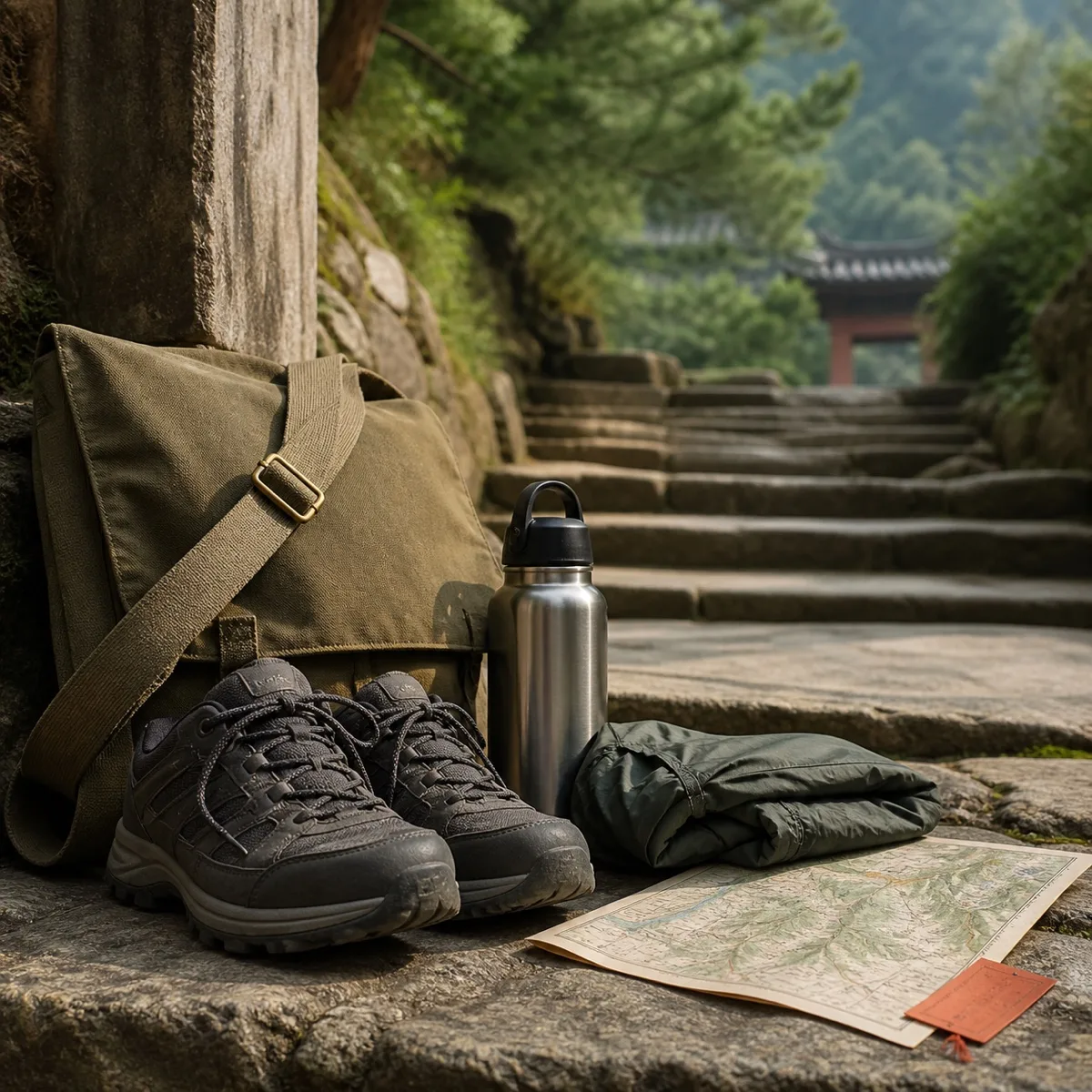
Settle accommodation first, leave everything there, and carry a small day pack with water, food, layers and rain protection. If you intend to stay overnight on the mountain, take an overnight bag small enough to climb stairs with, and accept that you will carry it up every step yourself. If you are arriving and departing on the same day, use left luggage at the station or at a hotel rather than carrying bags into the area.
Building a realistic day
A workable day has a shape rather than a list, and the shape follows from the constraints above.
Clear the entrance early, before the main queues. Move up the line in order rather than jumping around. Give the major complexes real time instead of passing through them, since they are the point of the visit and the transport is only how you reach them. Treat the summit as weather-dependent and, if it matters to you, take it early rather than saving it for the end. Fix your final site in advance so that you are not making transport decisions when tired. And build in a bad-weather alternative, because a clouded summit is normal rather than exceptional and the mid-mountain and cliff sites are excellent in mist.
Above all, plan fewer sites than you think you can manage. Every experienced visitor's advice on this mountain converges on the same point: the day always takes longer than the map suggests, because everything involves vertical movement and every transfer involves waiting.
The two pages
This sub-group divides the material in two. One page covers reaching the region and the base town from elsewhere in China. The other covers moving around inside the protected area: the stages, the transfers, the walking connections and how to sequence a day. Neither quotes fares or times, and both should be checked locally on the day.
Sources and limits. This page describes the structure of transport arrangements rather than current operational detail, and quotes no fares, times, frequencies or schedules. Rail, air and road provision to the region, the internal shuttle routing, cable car operation, ticketing boundaries and rules about private vehicles all change without notice, and services may be suspended in bad weather. Confirm everything operational on the day with the operator, and treat this as orientation only.
Key points
Transport here is a series of separate stages, not one journey, and misunderstanding that is the commonest planning failure.
You cannot drive yourself up the mountain; inside the area you move on official shuttle transport and a cable car, then on foot.
Reaching the region is usually by rail, with air and road as alternatives, and the practical destination is the town at the foot, outside the protected area.
The controlled entrance is the day's biggest bottleneck, so plan to clear it early.
Charging is layered: area admission, internal transport, cable car and certain sites are separate matters.
Count stages and transfers rather than kilometres, and assume each transfer costs unplanned time.
Plan a simple one-directional shape with no backtracking, and fix your last site in advance.
Leave luggage at your accommodation; suitcases do not work on shuttles, cable cars or stairways.
Recommended next page
Where next?
Getting Around Wudang MountainScenic-area shuttles, cable cars, walking routes and the last departures of the dayA few alternatives