A path into the reading
The 36 Cliffs of Wudang Mountain
A source-led directory of Wudang’s historic cliffs, rock shelters and sacred formations.
Start here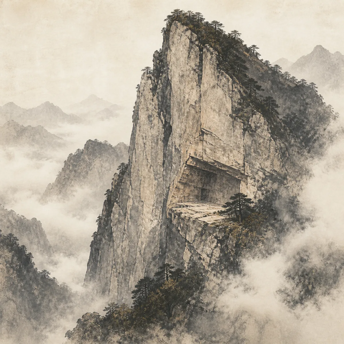
01 Find your bearings
Nanyan Cliff at Wudang Mountain: Three Historical Names and a Sacred Ledge
A source-led guide to the first of Wudang’s traditional 36 cliffs, explaining the names Zixiao Rock, Nanyan and Duyang Rock and how the landform differs from Nanyan Palace.
Explore this sectionGo further
Deeper reading
- Nanyan Cliff at Wudang Mountain: Three Historical Names and a Sacred LedgeA source-led guide to the first of Wudang’s traditional 36 cliffs, explaining the names Zixiao Rock, Nanyan and Duyang Rock and how the landform differs from Nanyan Palace.
- Yinxian Rock at Wudang Mountain: Cave, Inscription and Hermit TraditionsA source-led guide to the second well-described formation in Wudang’s 36 Cliffs, including its three historical names, the 1332 building inscription and the traditions of Yin Xi and Yin Gui.
The full guide
What should I know before reading further?
The 36 cliffs are recorded with the Chinese term yan (岩). Depending on the setting, this may describe a cliff, rock face, overhang, shelter or cavern-like recess. Translating every occurrence as “cliff” keeps the traditional group easy to recognise, but it can hide important physical differences between the places.
Read more The complete guide
What “cliff” means in Wudang’s historical catalogue
The 36 cliffs are recorded with the Chinese term yan (岩). Depending on the setting, this may describe a cliff, rock face, overhang, shelter or cavern-like recess. Translating every occurrence as “cliff” keeps the traditional group easy to recognise, but it can hide important physical differences between the places.
Individual pages will therefore retain the Chinese name and explain what sort of formation the historical description appears to indicate. A careful translation should follow the landform, not force every site into one English category.
Why rock formations became places of worship and retreat
Steep rock faces and protected recesses offered seclusion, shelter and dramatic settings for religious practice. They could also occupy important positions along older mountain routes. Over time, some formations became associated with hermitages, ritual spaces, halls, terraces or stories about renowned practitioners.
The attraction was not merely scenic. A cliff could shape how a building was approached, limit the available construction space and frame a view towards another sacred feature. Natural geography and religious use developed together, but they should not be treated as the same thing.
The natural formation and the building are not identical
A historical name may refer to the rock itself, to a religious site constructed against it, or to a wider area containing both. Buildings can burn, collapse, be rebuilt or acquire new names while the formation remains. Conversely, a famous modern temple name can overshadow an older geographical name.
Each entry will separate the physical yan from structures associated with it. Dates assigned to a surviving hall will not automatically be presented as dates for the cliff’s religious significance, and a reconstructed building will not be described as unchanged medieval fabric.
Why a historic cliff can be difficult to identify today
Rock formations rarely have one obvious map point. A name may cover a face extending along a ridge, a sheltered recess below it or a route approaching it. Vegetation, landslides, road building and reconstruction can also alter what visitors see.
Historical descriptions are most useful when they state relationships: below a named peak, beside a spring, near a temple or along a particular road. Those relationships must be compared with later gazetteers, maps and reliable heritage records before a modern identification is accepted.
How this directory grades the evidence
Future cliff entries will distinguish between a recorded name, a probable present identification and a securely documented one. They will also identify whether a story comes from an early source, a later local tradition or a modern retelling.
Where the correspondence is uncertain, the page will explain why. It will not use a precise coordinate, modern photograph or repeated tourism claim to create confidence that the sources do not support.
How visitors should use cliff information
Many cliff environments are steep, exposed or connected with restricted religious and conservation areas. Historical importance does not imply public access. Current scenic-area notices, weather conditions and authorised paths must take priority over a historical description.
This directory is intended to help readers understand the place they are seeing from an approved route. It is not an invitation to enter caves, climb rock faces or search for unmarked remains.
What an individual cliff page will contain
A full entry will include the Chinese name, translation choice, known variants, earliest verified source and evidence status. It will describe the type of formation, its relationship to nearby peaks, water and routes, and the history of any documented temple or retreat site associated with it.
Where legends are culturally important, they will be included with a clear label. Historical architecture, later reconstruction and present condition will be described separately.
Sources and the key point about the 36 cliffs
The directory begins with Liu Daoming’s 1291 Wudang Fudi Zongzhen Ji and checks its descriptions against later mountain gazetteers, official heritage material, UNESCO documentation and modern topography. The traditional group is valuable because it preserves a way of reading Wudang through rock, shelter and sacred use. The responsible task is not to make every identification look certain, but to show exactly what is known about each place.
Recommended next page
Where next?
Yinxian Rock at Wudang Mountain: Cave, Inscription and Hermit TraditionsA source-led guide to the second well-described formation in Wudang’s 36 Cliffs, including its three historical names, the 1332 building inscription and the traditions of Yin Xi and Yin Gui.A few alternatives