A path into the reading
Wudang Mountain’s 72 Peaks, 36 Cliffs and 24 Streams
A source-led guide to Wudang’s traditional landscape catalogue, separating historical names, modern identifications and living geography.
Start here01 Find your bearings
The 72 Peaks of Wudang Mountain
A historical and geographical directory of Wudang’s traditional peaks, beginning with securely identified places.
Explore this section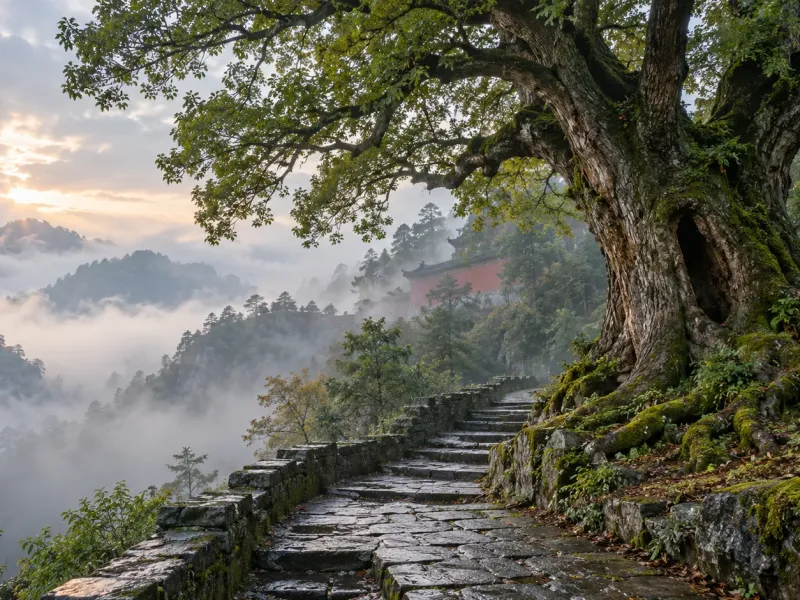
02 Explore the subject
How Wudang Mountain’s Landscape Shaped Its Temples and Routes
Peaks, valleys, ravines and steep slopes did more than surround Wudang’s buildings: they organised movement, construction and the experience of ascent.
Explore this section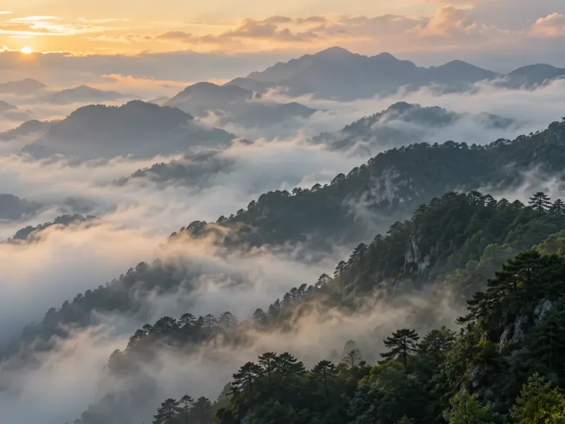
03 Keep reading
Mist at Wudang: Weather, Visibility and the Art of Mountain Looking
A field guide to low cloud, partial views, cultural imagery and responsible observation
Explore this sectionGo further
Deeper reading
- The 72 Peaks of Wudang MountainA historical and geographical directory of Wudang’s traditional peaks, beginning with securely identified places.
- The 36 Cliffs of Wudang MountainA source-led directory of Wudang’s historic cliffs, rock shelters and sacred formations.
- The 24 Streams of Wudang MountainA historical and geographical directory of Wudang’s traditional mountain streams and ravines.
- How Wudang Mountain’s Landscape Shaped Its Temples and RoutesPeaks, valleys, ravines and steep slopes did more than surround Wudang’s buildings: they organised movement, construction and the experience of ascent.
- Old Trees at Wudang: Living Heritage, Age and CareHow to read age records, root zones and the changing relationship between mountain trees, paths and historic buildings
- Wild Edible Plants at Wudang: Food, Pilgrimage and Living KnowledgeHow seasonal foods connect landscape, village knowledge and the visitor experience—and why responsible appreciation begins with not picking.
- Mist at Wudang: Weather, Visibility and the Art of Mountain LookingA field guide to low cloud, partial views, cultural imagery and responsible observation
- Reading Wudang’s Forests: Elevation, Canopy and Sacred LandscapeA field guide to the mountain’s forest layers, historical evidence and respectful observation
The full guide
What should I know before reading further?
Wudang Mountain’s traditional landscape catalogue brings peaks, rock formations and watercourses into one system. The three groups describe different dimensions of the same mountain: summits establish height and orientation, cliffs create places of shelter and religious use, and streams connect upper slopes with valleys, roads and settlements.
Read more The complete guide
Why the 72 peaks, 36 cliffs and 24 streams belong together
Wudang Mountain’s traditional landscape catalogue brings peaks, rock formations and watercourses into one system. The three groups describe different dimensions of the same mountain: summits establish height and orientation, cliffs create places of shelter and religious use, and streams connect upper slopes with valleys, roads and settlements.
The totals are memorable because they turn a complex landscape into an ordered cultural geography. They should not be read as the results of a modern survey. Their value lies in showing how earlier communities recognised relationships between terrain, pilgrimage, temple history and sacred narrative.
Where the historical catalogue comes from
A central source is Liu Daoming’s Wudang Fudi Zongzhen Ji, compiled in 1291. The work records far more than famous temples. It catalogues peaks, cliffs, streams, caves, pools, plants, animals, roads and stories associated with the mountain during the Yuan dynasty.
That breadth matters. A name in the catalogue is rarely an isolated label: it may be described through its position below another feature, its distance from a building, a spring beside it or a route leading past it. These spatial relationships provide the best starting point for comparing the medieval record with later gazetteers and modern geography.
How the 72 peaks organise the mountain vertically
The best-known image is “72 peaks facing the Great Summit”. Tianzhu Peak stands at the centre of that image, while the surrounding summits and ridges are understood through their forms, directions and relationships to the central height.
Not every historical “peak” must be a separate pointed summit. Some names may describe an extended ridge, a shoulder of a larger mountain or a feature recognised from a particular road. The 72 Peaks directory explains how those distinctions will be handled and why a familiar modern name is not sufficient evidence on its own.
How the 36 cliffs join natural geology to human practice
The term yan (岩) can mean a cliff, rock face, overhang, shelter or cavern-like recess. These formations offered secluded settings and constrained spaces in which hermitages, ritual sites and later buildings could develop.
A natural rock formation and the temple associated with it are not identical. Buildings may be rebuilt, renamed or lost while the cliff remains. The 36 Cliffs directory therefore separates physical geography, architectural history and religious tradition instead of treating them as one continuous story.
How the 24 streams reveal a connected mountain
The term jian (涧) describes water moving through a ravine, although a particular example may be better understood as a stream, gully or narrow valley. Water supplied mountain communities, shaped paths and helped define the approaches between lower valleys and higher religious sites.
Channels also change through rainfall, erosion and engineering. A historical name may refer to flowing water, a ravine or one section of a longer course. The 24 Streams directory explains how historical wording, present topography and dated access information will be kept separate.
Why historical names do not always match modern maps
Names can change, survive only in local speech or be transferred to a nearby temple, road or scenic feature. Different editions may preserve variant characters, while a broad landform can be reduced to one convenient digital map pin. Similarity is useful evidence, but it is not proof.
Modern identification is strongest when several relationships agree: the name appears in a reliable source, neighbouring features match, later records preserve the connection and present topography makes geographical sense. When one part is missing, the directory will state the uncertainty rather than conceal it.
How every future landmark page will show its evidence
Individual pages will distinguish three levels of information:
Historical attestation: the name and description found in an early or otherwise reliable source.
Present identification: the evidence connecting that record to a feature recognised today.
Cultural interpretation: documented history separated from later tradition, legend and modern tourism language.
This structure allows a historically important name to remain in the catalogue even when its precise modern location is unresolved. It also prevents coordinates, photographs or repeated claims from creating a false appearance of certainty.
How to explore this directory responsibly
Begin with the three group directories, then follow individual entries as verified research is added. Current scenic-area maps and notices must remain the authority for access, weather and safety; a historical description is not permission to enter a restricted or unmarked place.
The continuing research compares the 1291 text with later Wudang gazetteers, official heritage material, UNESCO documentation and modern topography. Pages will be added gradually, with sources and uncertainty visible. The goal is not to manufacture 132 thin profiles, but to reconstruct Wudang’s living historical geography one well-supported place at a time.
Recommended next page
Where next?
The 36 Cliffs of Wudang MountainA source-led directory of Wudang’s historic cliffs, rock shelters and sacred formations.A few alternatives