Reading Wudang’s Forests: Elevation, Canopy and Sacred Landscape
读懂武当山森林:海拔、林冠与神圣景观
Wudang’s forests are not a single green backdrop. Ridge, ravine, altitude, exposure and human use create a mosaic: sunlit slopes, moist gullies, temple groves, disturbed edges and layered woodland. Reading those differences makes the mountain’s paths and architecture easier to understand. It also prevents a common mistake—treating one species list, one old tree or one expedition as a complete portrait of a living forest.
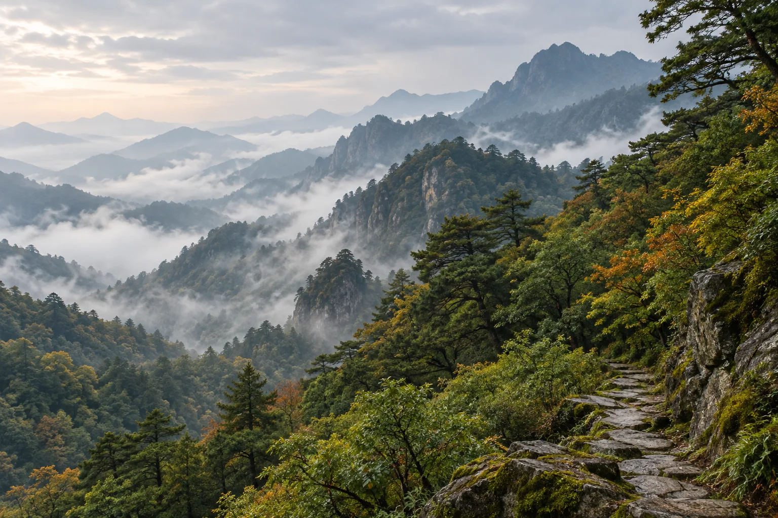
A forested cultural landscape
Architecture belongs to slopes and valleys
UNESCO describes Wudang’s ancient building complex as palaces and temples set in scenic valleys and on mountain slopes. That wording matters. The World Heritage property is celebrated for architecture, but the buildings are encountered through topography, vegetation, weather and approach routes. Forest can screen a roof, frame a gate, cool a ravine and reveal distance between one terrace and the next.
The relationship is historical without being frozen. Some trees were planted or protected near religious sites; other woodland regenerated after disturbance; paths, farming and tourism created edges. “Natural” and “cultural” are therefore not opposite labels here. Wudang is a cultural landscape in which forests and built heritage have long affected how each other is seen and cared for.
Do not confuse a grove with the whole mountain
A stand beside a temple, a moist ravine and a sunny lower slope can differ sharply over a short distance. The old trees of Wudang deserve individual care, but a forest is more than its largest trunks. It also includes younger trees, shrubs, vines, ferns, herbs, fungi, leaf litter, dead wood, soil and the openings that let light reach the ground.
Elevation changes the view
A dated field window, not a timeless inventory
In autumn 1994, Chinese and North American botanists surveyed parts of Wudang and later published their field account in Arnoldia. They described altered or intensively managed vegetation at lower elevations, better-preserved woodland near the main peak, and steep, moist ravines above roughly 1,000 metres. Around the upper routes they recorded mixed pine-and-oak canopy, maples, dogwoods, stewartias, hollies, spicebush, ferns and many herbaceous plants.
Those observations are valuable because the authors recorded place, elevation and habitat and deposited voucher specimens. They are still a snapshot of selected routes in one season, more than thirty years ago. They should not be used as a current abundance map, a complete flora or proof that every named plant is easy—or appropriate—for a visitor to identify.
Height is only one variable
Air generally cools with elevation, but slope direction, rock, soil depth, water and canopy gaps also matter. A shaded ravine can stay moist while a nearby exposed ridge dries quickly. Cliffs interrupt continuous forest; paths and former terraces create brighter edges; mist can reduce visibility and alter how layers of vegetation appear. For the weather layer, continue to Mist at Wudang. For waterways, see how ravines become streams and a modern watershed.
Read the forest in layers
Canopy, understory and forest floor
Start high. The canopy controls much of the light and rain reaching lower layers. Then look beneath it: smaller trees and shrubs may persist in shade, while vines use trunks as support. At ground level, ferns and herbs occupy suitable pockets; fallen leaves and wood return material to the soil as they decompose. A gap made by wind, age or maintenance can temporarily change all three layers.
This layered view is more useful than searching for a single “representative” tree. The 1994 expedition, for example, described paperbark maple seedlings and older trees within mature forest, suggesting a mixed-age population at that locality. That is an ecological observation tied to a recorded site—not a license to generalize the same structure across Wudang.
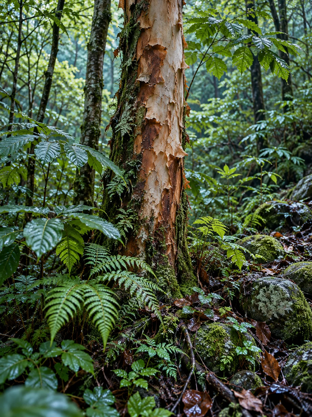
Edges record use
Forest edges can reveal cultivation, abandoned terraces, road building, repeated foot traffic or maintenance. The Arnoldia account noted both wear beside the main summit path and well-preserved woodland close by; it also described former agricultural terraces being recolonized by sun-loving plants. Such evidence complicates the idea of an untouched mountain. Regeneration, protection and disturbance can sit within the same view.
Temples can shelter trees—but avoid easy myths
What national research supports
A 2025 Current Biology study assembled records for 46,966 old trees at 5,125 Buddhist and 1,420 Daoist temples across China. The researchers found much higher densities of old trees on temple grounds than outside them and documented threatened species preserved at religious sites. This supports the broader conclusion that long-lived religious places can become refuges for old trees in human-dominated landscapes.
The study is national, not a census of Wudang’s forests. It does not prove that every tree near a Wudang temple is ancient, sacred, naturally occurring or ecologically rare. Some may have been planted; others may persist because a site was protected; still others belong to surrounding forest. Read inscriptions, management records and botanical evidence before assigning an age or story. The article on Wudang’s steles and dates offers a parallel lesson: evidence is strongest when object, text and place agree.
How to look without taking
A six-part field method
- Locate the landform. Are you on a ridge, terrace, cliff foot or ravine floor?
- Look up and down. Compare canopy, understory and forest floor before naming a species.
- Notice water and exposure. Shade, seepage, wind and slope direction often explain nearby differences.
- Read signs of use. Paths, cut stems, retaining walls, planted rows and secondary growth record human activity.
- Treat labels as local. A sign identifies what has been documented at that spot; it does not describe the whole mountain.
- Leave the evidence in place. Do not collect leaves, bark, seeds, fungi or “medicinal” plants, and do not step off approved paths to reach a photograph.
Season changes what can be seen
Leaves, flowers, fruit, seed, moisture and visibility change through the year. A plant conspicuous in spring may be hard to recognize in autumn; an evergreen understory may remain visible after deciduous leaves fall. Plan for current conditions through the seasonal visitor guide, and never taste a wild plant on the strength of a photograph or folk name. The wild edible plants guide explains why identification, permission and local knowledge matter.
To read Wudang’s forest well is to resist the single view. Move from ridge to ravine, canopy to litter, old tree to young growth, and temple courtyard to secondary trail. The result is not a checklist but a more accurate cultural landscape: layered, changing and shaped by both ecological processes and human care.